Planetary Geophysics provides full survey design, data acquisition, project management, data processing, interpretation and consultation services.
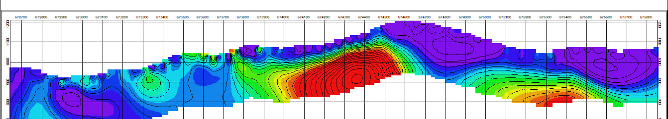
IP/RESISTIVITY
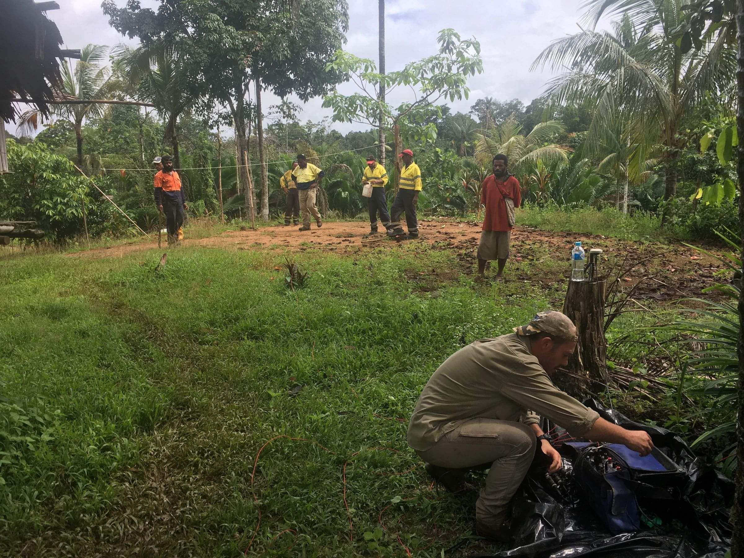
Planetary Geophysics operates a range of IP/Resistivity acquisition systems - conventional, vector, and distributed configurations (PGDAS), tailored to meet the specific technical demands of each project. These systems utilize innovative combinations of mobile, high-powered transmitters and multi-channel receivers.
We deploy both in-house developed proprietary instrumentation and equipment from leading international manufacturers, including Iris Instruments (France) and Instrumentation GDD Inc. (Canada).
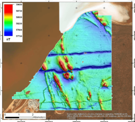
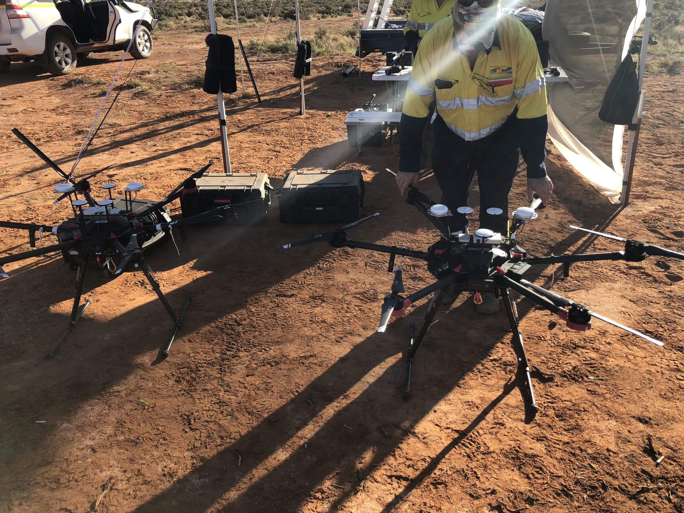
GROUND & UAV MAGNETICS
High resolution Ground Magnetic surveys are conducted on a point -to-point or continuous basis with GEM Systems high precision GSM19-W Overhauser Magnetometer's with integrated GPS system for navigation.
Airborne surveys are conducted utilizing various UAV vehicles and sensors best suited to specific operating environments.
GRAVITY
Planetary conducts precision land gravity surveys with the Scintrex CG-5 AutoGrav Gravity meter, using Total Stations and Trimble or Leica RTK Differential GPS systems for elevation control.
HAITEM - HIGH POWERED EM
Next Generation High Powered Time Domain Ground EM System
The HaiTEM has evolved from research and construction of Airborne EM systems over the last decade. The Airborne application being demanding in terms of system design and performance, has been carried across into the HaiTEM Ground EM design. The system is extremely safe, easy to use, very mobile and easily transported.
HaiTEM RECEIVER FEATURES:
- Full recording of each EM decay for post processing
- Automatically detect the Transmitter and commence recording
- Both Receiver and Transmitter are synchronised by GPS
- Receive coil used can be chosen based on the nature of the environment to optimize noise levels or speed of response
HaiTEM TRANSMITTER FEATURES:
- Output current up to 120A
- Lightweight portable battery powered transmitter
- Turnoff time is in the order of 100us
- Transmitter operates from 24V to 72V for operator safety
- Battery operation yields the best quality data
HaiTEM COIL FEATURES:
- An advance in the design for speed and low self-response within the coil.
- Developed to exhibit minimal self response and have very fast response times. This enables measurements in resistive environments where “Normal” coils fail.
- Specialized construction techniques, along with a specialized conditioning pre-amplifier.
- The HaiTEM data files record each individual decay. Post processing software allows for selection of parameters to optimise the extraction of signal from the recorded data.
MT
Magnetotellurics can be used for the following applications:
- Oil and gas
- Kimberlites (Diamonds)
- Earthquake research
- Metals and minerals
- Geothermal reservoirs
- Engineering and environmental
- Groundwater
- Monitoring
Planetary Geophysics uses the MTU-5A series Unit manufactured by Phoenix Geophysics
Features of the MTU-5A:
Lightweight, portable, rugged
No cable links required
GPS synchronized
10 000Hz to 0.00002Hz
24-bit digital resolution
Wide dynamic range
Operable from —20°C to +50°C
Available with 2, 3, or 5 channels per instrument (electric, magnetic, or both)
Unlimited number of channels per system
The MTU is the heart of the V5 System 2000. Introduced in the late 1990s, this patented system has now been used at tens of thousands of survey sites worldwide.
Flexibility of station spacing from kilometres to tens of metres facilitates cost-effective broad reconnaissance or resolution of fine details in a variety of applications.
The MT techniques are excellent supplements to seismic in hydrocarbon exploration, but can also be used alone if logistics or geology make seismic impractical.
Past & Present clients of Planetary Geophysics